

GEOSPATIAL SERVICES
Understand your data in the context of the world around you
Web Mapping
Maps should do more than display data—they should tell a story. We create interactive, web-based mapping solutions that bring your spatial data to life, allowing users to explore, analyze, and engage with geographic insights in real time. We build intuitive, scalable web maps that integrate live location data, satellite imagery, and complex datasets, transforming geospatial information into actionable intelligence.
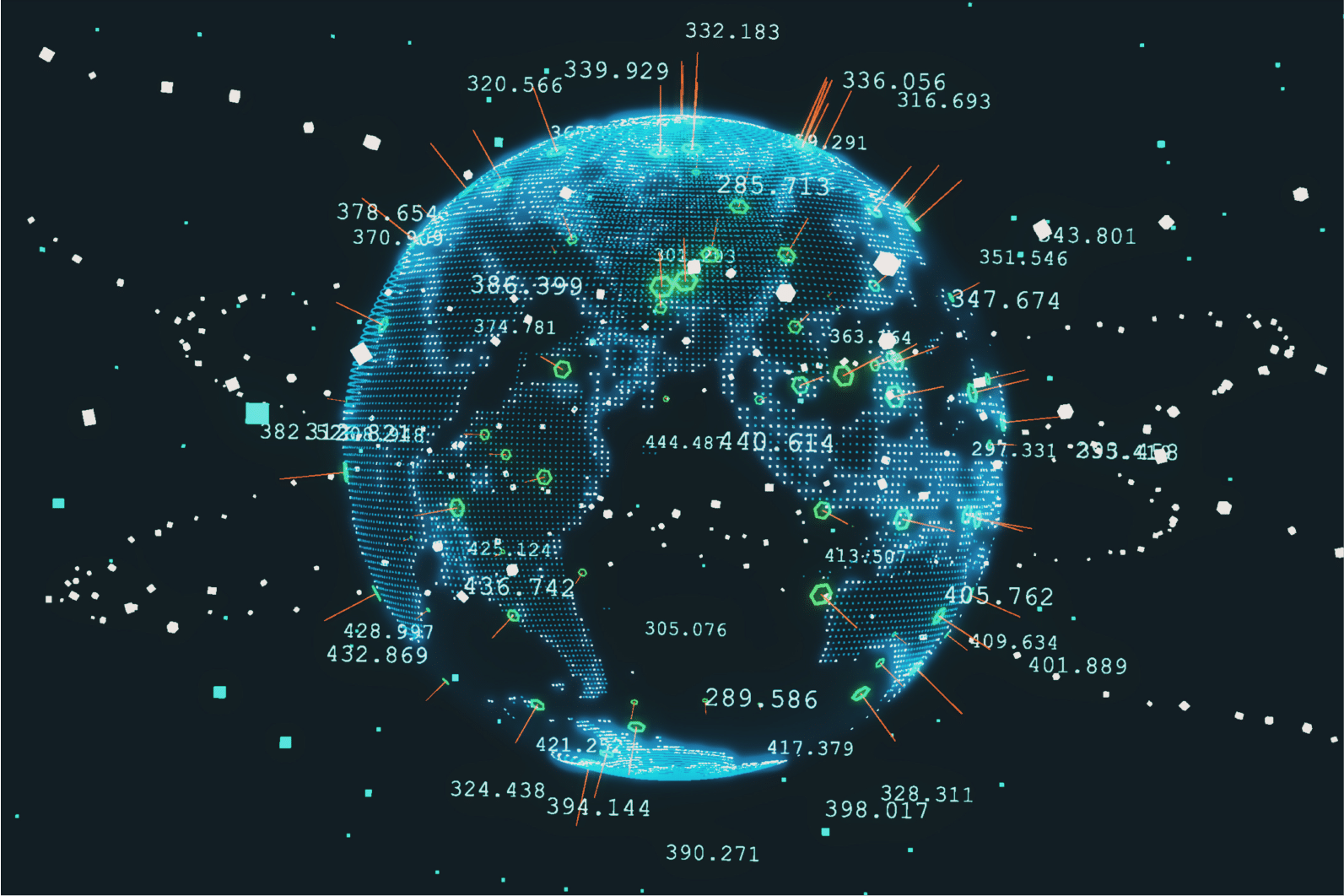
Data Visualization
Geospatial data is most powerful when it’s clear, accessible, and actionable. Our custom geospatial visualizations uncover patterns, trends, and relationships that might otherwise go unnoticed. From heatmaps and 3D terrain models to dynamic dashboards, we design interactive, data-driven visuals that provide deep insights at a glance, helping your team make smarter, faster decisions with confidence.
Spatial Analysis
Where things happen matters just as much as when and how. Our spatial analytics solutions unlock hidden insights in location-based data, enabling businesses to optimize logistics, identify market trends, and enhance operational efficiency. Whether analyzing customer behavior, resource distribution, or environmental impact, we turn raw geospatial data into strategic, data-driven decisions that move your business forward.